Models for traffic management, public safety, crowd dynamics, and environmental monitoring – running on the infrastructure you already operate, with no new hardware required.
Retention-based video AI creates legal and reputational risk. Our models generate counts, flows, and incidents – and then forget. No video retention, no identifiable frames, no audit nightmare. Monitoring, not retention.
Pick the ones you need. Start with three, add more as your deployment matures. All models share the same edge runtime and dashboard.
Metrics without footage. For parks, schools, and residential zones where privacy is paramount.
Count and track pedestrians across access points with direction and time-of-day flow data.
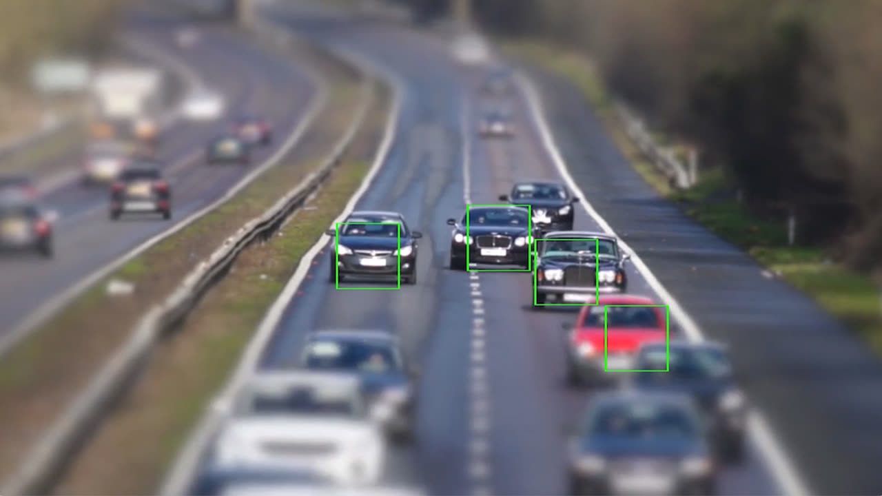
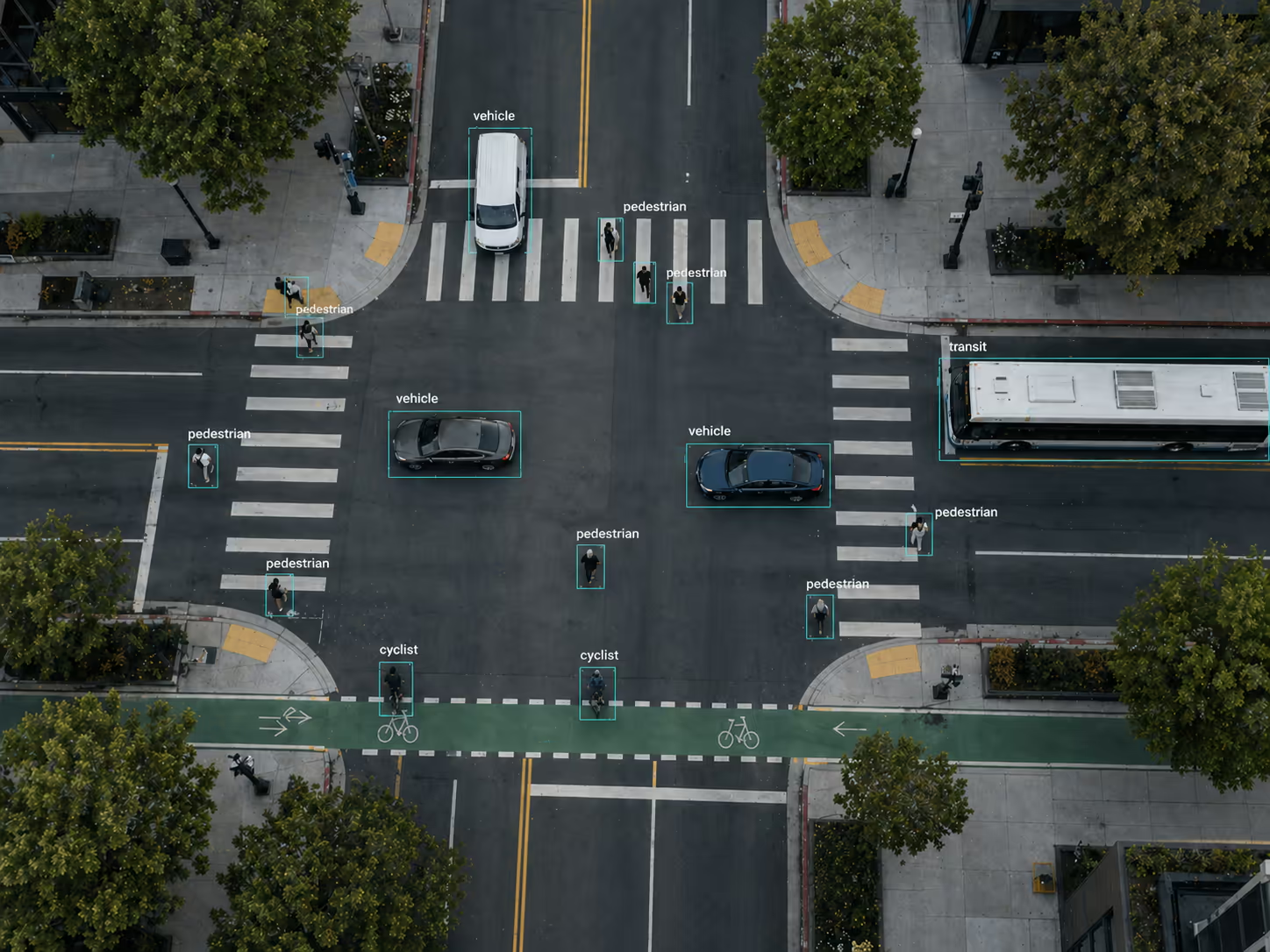
Vehicle counts and flow. Signal optimization, congestion reduction, route planning.
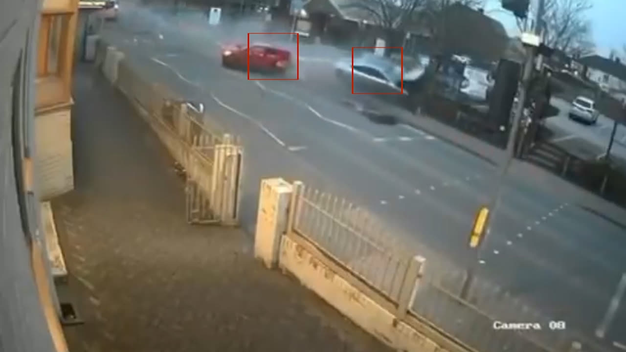
Real-time detection of vehicle-to-vehicle, vehicle-to-pedestrian, and vehicle-to-bike collisions.
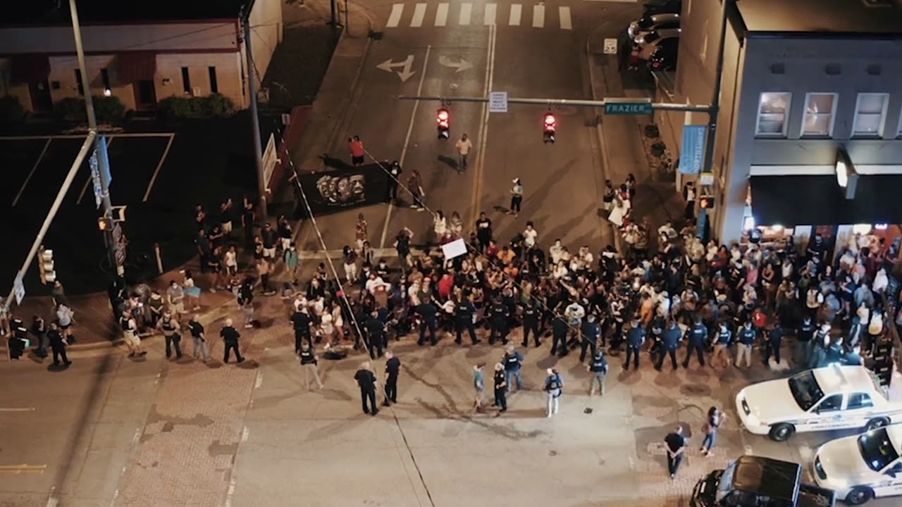
Density and movement for public events and transit hubs. Early alerts on overcrowding.
Identify unusual stay times in specific zones – alert staff before situations escalate.
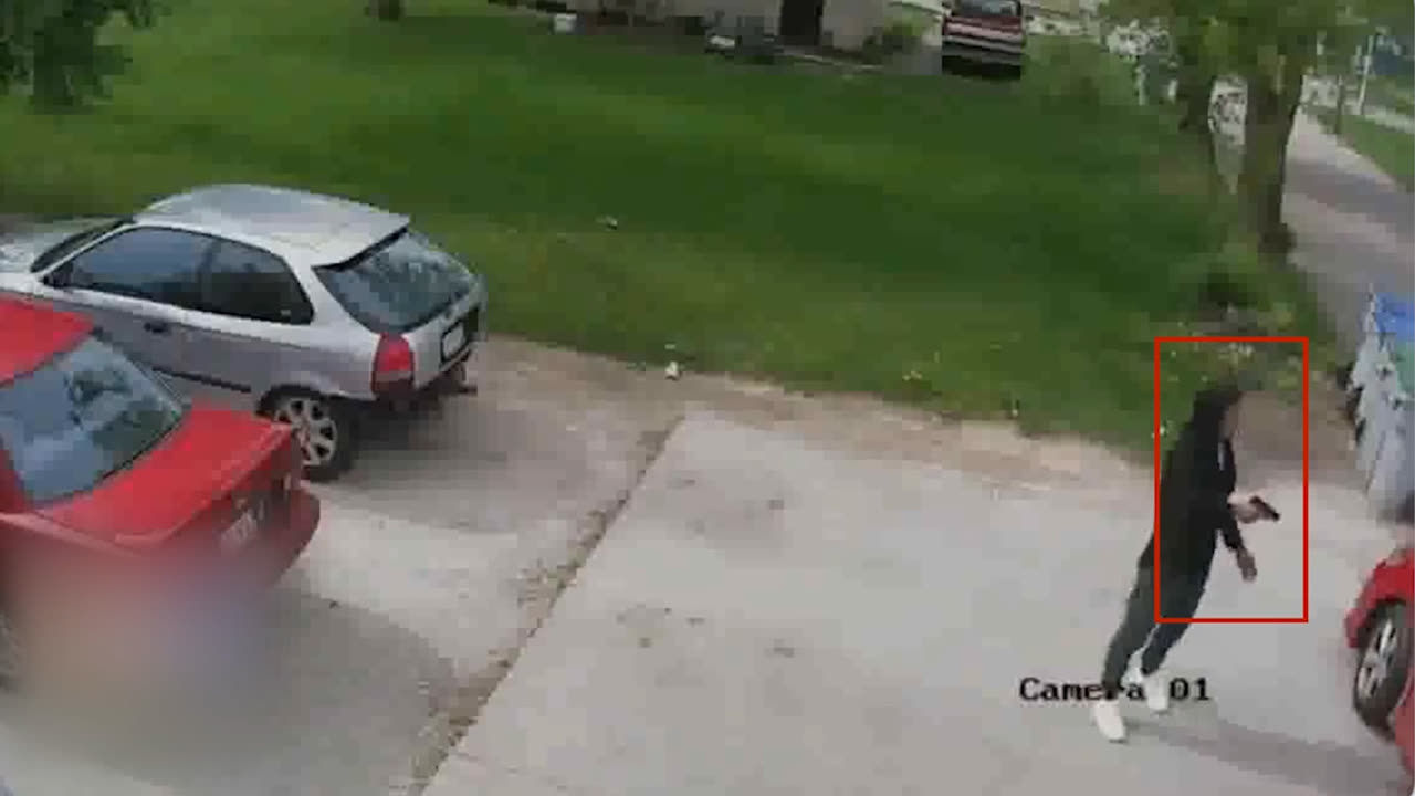
Real-time alerts on graffiti, property damage, and abnormal physical interaction with infrastructure.
Flow, safety, and maintenance insights for parks and recreation areas – privacy-first mode on.
Detects white or dark smoke via existing CCTV. Early warning for wildfires and illegal burning.
Detect stolen license plates as they cross monitored intersections. Direction and make/model metadata.
Identification and tracking of wildlife crossing roads. Reduces vehicle-to-wildlife accidents.
Virtual rendering of city infrastructure. Plan lanes, routes, and businesses before building.
No slides. Actual inference on actual footage – synthetic and anonymized where privacy applies.
Send us one clip from one of your cameras. We'll show you what the model sees within 48 hours – no commitment, no sales pitch.